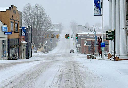
Below average temperatures to start 2026, but average snowfall
Temperatures for the month of January were below average with the average afternoon high temperature at 41.8 degrees, or 1.2 degrees below the January average high of 43 degrees. High temperatures for January climbed into the 60s on four days, 50s on seven days, the 40s on nine days, the 30s on four days, the 20s on four days and only into the teens on three days during the month. The high for the month was 62 degrees on Jan. 7.
The warmest January on record was in 1974, where the average afternoon high was 52.6 degrees. The coolest January was in 1977, where the average afternoon high was only 35.2 degrees.
The average daily low temperature for the month was 23.2 degrees, or 1.8 degrees below the January average low of 25 degrees. Low temperatures for January dipped down into the single digits on four days, the teens on eight days, the 20s on 10 days, the 30s on five days and into the 40s on four days during the month. The low for the month was 5 degrees on Jan. 24.
Total snow (and sleet) for the month was 6.75 inches, or 0.25 inch above the January average of 6.5 inches. Snow was recorded on two days during the month (Jan. 24-25).
In the past 58 years, there have been three Januarys with no measurable snowfall (1972, 1974 and 2023). The snowiest January on record was in 1996 with 37 inches.
Total rain (and snow melt) for the month was 3.39 inches, or 0.68 inch above the January average of 2.71 inches.
The wettest January on record was in 1978, with 7.59 inches of rain. The driest occurred in 1981, with only 0.23 inches of rain recorded.
The peak wind gust for the month was 39 mph on Jan. 13.
Weather records broken during January 2026 include:
• Jan. 24 — minimum high temperature of 18 degrees; previous record of 20 degrees in 2014.
• Jan. 25 — minimum high temperature of 14 degrees; previous record of 18 degrees in 1987.
• Jan. 25 — single day 2.17 inches (snow melt); previous record of 1.75 inches (rain) in 2010.
• Jan. 31 — minimum high temperature of 19 degrees; previous record of 25 degrees in 2019.
Other statistics for January 2026 include:
• 20 clear to partly cloudy days (17 avg.)
• 11 cloudy to mostly cloudy days (14 avg.)
• One day with dew (two avg.)
• Two days with frost (eight avg.)
• One day with fog (two avg.)
• No days with a thundershower (zero avg.)
Below average rainfall, but near average snow seen across the Page Valley in December
November produces less than an inch of rain
Year-to-date rainfall remains almost 4 inches above average
September driest month so far in 2025
Coolest August in past 57 years
July almost became wettest on record
Rainfall over six months 3 inches above average
Second-wettest May in 57 years
April showers deliver less than half of average rain
Little precipitation, higher temperatures and ‘mud rain’ recorded in March
February produces 8 inches of snow and nearly 4 inches of rain


Be the first to comment